
Search St. Paul Streets By Address
Street-by-street research in St. Paul has a dependable order. Ramsey County’s property system connects a physical address to a PIN and legal description. MapRamsey then makes it possible to compare the selected parcel with the parcels beside it. RecordEASE carries the recorded-instrument trail, and the library’s street indexes help when the question moves into an earlier year. These sources can show ownership, tax responsibility, recorded transactions, permit activity, or a historical listing. They do not combine into a complete roster of everyone at an address.
Start by preserving the wording returned by each office. A street address can change, and a parcel can be described by a lot, block, addition, or tract. The same label should travel with the search notes, along with the date checked. That makes it easier to see whether two results actually concern the same property.
- Search the Ramsey County Property Tax and Value Lookup by property address. Save the PIN, situs address, taxpayer or owner name, mailing address, and legal description.
- Repeat the lookup with the PIN, then open MapRamsey. Click the parcel polygon and compare the neighboring parcels while keeping the parcel layer visible.
- Use the legal description, tract, lot and block, or a party name in RecordEASE. Identify the latest instrument that transfers title before moving backward through sellers.
- Check PAULIE by address or PIN for permits, inspections, complaints, planning cases, or other municipal property history. Read any named party as a role in that record, not automatic proof of residence.
- For an older address, use the library’s street index and city directories. The historical directory collections are described in more depth in the St. Paul Directory Book.
St. Paul Parcel Keys For Street Records
Ramsey County distinguishes the physical parcel from the place where tax mail is sent. The situs address is the real-world location of the parcel. A mailing address can be a care-of address, an organization address, or an address outside the county. The PIN and legal description are stronger bridges between the tax screen, the map, and the Recorder’s records. Homestead status is a tax classification and can support an owner-occupancy question, but it does not identify every present occupant.
Use a current street number first, then save both the exact PIN and the plat, block, and lot language if it appears. The tax-payment instructions recognize Property Address, Parcel Number, and Plat/Block/Lot as search paths. That last path is especially useful when an older deed was indexed under land description rather than under a modern address.
| Assessor or GIS field | Type | Required | Use in the address trail |
|---|---|---|---|
| Property address | Text or address autocomplete | No | Enter house number and street, then confirm the standardized result. |
| PIN or parcel | Text | No | Use the county identifier to tie the property result to MapRamsey and the recorder trail. |
| Plat, block, and lot | Structured text | No | Use the land description when a street name is missing from older land records. |
| Owner or taxpayer | Result field or search capability | No | Try surname or entity variants; keep the party role distinct from occupancy. |
| Mailing and situs address | Result fields | Not applicable | Compare the tax mailing address to the physical parcel location. |
| Sales, value, class, and structure | Result sections | Not applicable | Read these as tax and property details that can help date a record trail. |
- Parcel or PIN
- The county’s property identifier, used to join the tax record to mapped and recorded land information.
- Situs address
- The physical location of the parcel, which can differ from the mailing address on a tax record.
- Plat
- A recorded subdivision map that can identify an addition, lots, blocks, streets, and easements.
- Criss-cross directory
- A reverse street listing that starts with an address and points toward a historical occupant or business.
MapRamsey Across St. Paul Streets
MapRamsey is a practical geographic index for an address search. Search or navigate to an address, click the parcel, and inspect the linked property context. The viewer offers parcels, parcel points, common-interest communities, conveyance divisions, easements, historic rights of way, landties, aerial imagery, historic imagery, administrative boundaries, and environmental layers. Those choices can explain why a nearby polygon is an alley parcel, a common-interest parcel, a right-of-way, or a different lot.
The map is not a legal survey. Ramsey County cautions that its GIS maps are reference compilations and can differ from tax data. Use the viewer to discover a parcel, compare its geometry, and find a neighboring PIN. Confirm legal lot status with the property records, Recorder, Surveyor, or an official survey or tax map.
St. Paul Deeds Along A Street
RecordEASE is the online access point for Ramsey County Recorder and Registrar of Titles material. Begin with the same legal description found on the property result. A recorded conveyance may show its document number, recorded date and time, image indicator, title-transfer indicator, document name, reference documents, grantor, grantee, legal description, and notes. A grantor is the person or entity transferring an interest; a grantee is the party receiving it. The date and legal description should agree before treating a party name as part of the same chain.
The service says Ramsey County began electronic recording on April 24, 2014. That is an electronic-recording cutover, not the start of county land records. Older deed, abstract, Torrens, tract, and index material may require book, microfilm, office, copy, or archive access. RecordEASE lists a $25 monthly customer account, $0.85 per document or certificate search, and $1 to view a document, certificate, or plat.
See the Ramsey County RecordEASE access page before using the index-book route.
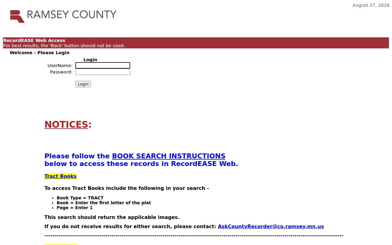
RecordEASE groups index-book images in 25-page PDFs. The first page of a group ends in 1 or 6, such as 001 or 026, so retain the book type, book number, and page range in the search notes.
St. Paul Address Records Compared
Each address-keyed source covers a different layer of an address search. The property record is useful for the current parcel. The map reveals nearby geometry. Recorder records document recorded instruments. PAULIE provides municipal record history by address or PIN. A historical directory supplies a dated resident or business clue, subject to the conventions of that year. Use the type of evidence that matches the question instead of expecting one record to prove every fact.
| Address record | Keeper | Useful signal | Access and limit |
|---|---|---|---|
| Property and tax result | Ramsey County Assessor and Property Tax | PIN, situs, taxpayer, mailing address, value, class, sales, and taxes | Online lookup or counter route; a mailing address may not be the parcel location. |
| MapRamsey parcel viewer | Ramsey Enterprise GIS | Parcel geometry, adjacent parcels, boundaries, and imagery | Public reference map; not title evidence or an official tax-lot map. |
| Deed and tract indexes | Ramsey Recorder and Registrar of Titles | Grantor, grantee, document type, date, and legal description | RecordEASE, copies, or office books; account and view charges apply. |
| PAULIE and Civic Access | Saint Paul Department of Safety and Inspections | Permit, inspection, complaint, code, project, or planning record | Address or PIN search; conversion gaps can affect older material. |
| City directory and street index | Saint Paul Public Library and MNHS | Historical occupant or business, address, and occupation clues | Online, film, fiche, or print by year; early runs have household limits. |
For a specific voter registration, MNVotes requires the person’s first and last name, birthday, and residence address. It can begin with ZIP or county mode, but it is not a tool for browsing an entire street. Minnesota Statutes §201.091 controls the separate public-information-list request process and its use restrictions.
PAULIE On St. Paul Streets
PAULIE is the current city layer for a St. Paul address. It covers permits, licenses, inspections, complaints, planning cases, applications, tracking, and payments. An address or PIN search can return a record number, address, type, issued, requested, or scheduled date, status, and a detail page. Public results may also identify an applicant, responsible party, owner, or contractor. Those roles describe a municipal record and should not be converted into a household list.
Saint Paul launched PAULIE on September 17, 2025, replacing AMANDA and ECLIPS. The City reported more than 20 years of converted permit and license data, while noting that incomplete legacy data is being cleaned and older permits continue to be added. A missing older result should lead to City or Ramsey County Historical Society research, not a conclusion that no record exists.
The Saint Paul PAULIE announcement identifies the current municipal system and its conversion context.
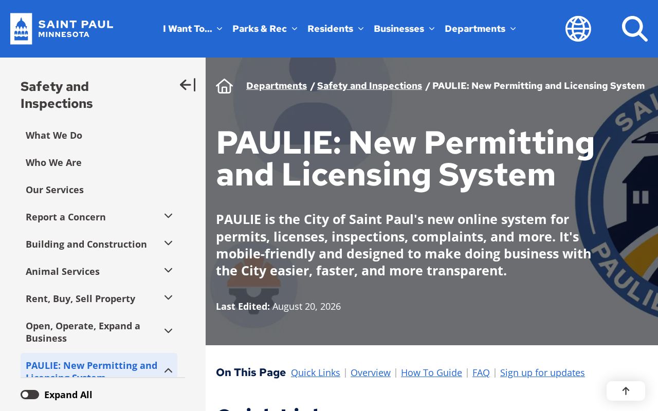
Use the returned address, PIN, record type, status, and dates to connect PAULIE to the parcel trail. That keeps a permit or inspection entry in its proper property-history context.
St. Paul Streets Change Names
Street names and city boundaries can interrupt an otherwise sound street-directory search. Saint Paul was surveyed in township and section grids east and west of the Mississippi. The original town site was filed in 1849, and an 1866 legislative action moved the Saint Paul plat to Ramsey County Recorder records. The City Surveyor reports 14 boundary changes from 1849 through 1887. Older records may therefore use a township, addition, ward, or legal description that does not match the modern city heading.
Main Street began as Fort Street, became Main Avenue in 1906, and later became Main Street. Freeway construction shortened it. In 2024, the City restored Rondo Avenue to parts of Concordia Avenue and St. Anthony Street. For a historical block, search both old and current names, then compare plats or Sanborn maps before deciding that two address references concern different places.
Reading St. Paul Street Directories
Historic reverse and street listings help when modern parcel data reaches its limit. Saint Paul Public Library has city directories online for 1856 through 1922, microfiche for 1856 through 1859, microfilm for 1863 through 1935, and print from 1938 forward. The 1879 street index added “to” and “from” information, while 1885 brought more specific house numbers. Those two changes matter when a present-day number is being searched backward.
The 1929 directories added a homeowner symbol and placed wives’ names after the husband’s; the 1933 run listed all adults in the household. The 1976 Street Directory adds descriptive notes and former street names. Directory listings remain editorial, not a census. Before 1933, a listing can favor the head of household, omit minors, and show women mainly when independently listed.
St. Paul Voter Searches Have Limits
MNVotes is designed to confirm an individual registration, not to produce a browseable resident roll. Its public lookup uses a complete name, birthday, and address. The statewide request form for the separate public-information list requires the requester to certify Minnesota voter status and a permitted use under §201.091. A geographic scope is not permission to publish a raw street roster.
Protected voters and Safe at Home participants can have special handling or substitute addresses. A registration result also cannot establish household size, private ballot choices, or everyone who lives at a parcel. Use it only for the controlled purpose the system permits.
St. Paul Street Directory Limits
A street directory can lead to public parcel, title, municipal, and historical records, but it cannot identify every person in a building. Renters and household members may not appear in a public filing. Utility and delivery customer data, DMV addresses, Safe at Home locations, protected voter information, and juvenile or sealed court data are not ordinary street-search material. An owner, taxpayer, mailing recipient, applicant, and occupant are different roles that should remain distinct in the notes.