
St. Paul Previous Residents by Era
There is no single database for the previous residents of a Saint Paul address. The address trail moves from a current parcel record to a legal description, recorded instruments, annual directories, maps, census schedules, permits, newspapers, and estate material. Each source answers a different question. A deed follows title, a directory gives a year-specific occupant or business clue, and a census records a household at a decennial point. Keep the original street spelling and addition or ward name, because a modern number can be a poor key for an early deed or directory.
| Source | Years | Where Held | What Shows |
|---|---|---|---|
| Ramsey electronic recording | Electronic cutover April 24, 2014 to present; older material may be book-based | Ramsey Recorder and RecordEASE | Recorded instruments, parties, legal descriptions, dates, and related documents |
| Deed, abstract, and Torrens books | Nineteenth century and later series; ranges vary | Recorder counter, tract and index books, RecordEASE | Grantor-grantee chain, book or document reference, plats, liens, and title instruments |
| Saint Paul city directories | Online 1856-1922; fiche 1856-1859; film 1863-1935; print 1938-present | SPPL George Latimer Central and SPPL Digital Collections | Named household or business clues, occupation, street, and later address conventions |
| Federal and Minnesota census | Federal schedules through 1950; Minnesota state census checkpoint in 1895 | National Archives and MNHS resources | Household members, relationships, ages, and period context |
| Sanborn maps and city permits | Sanborn holdings 1867-1950; permit ranges vary | MNHS, PAULIE, and RCHS | Building, lot, permit, inspection, and address-history context |
Use the source nearest the question's era, then bridge outward. A present-day record can supply a PIN and legal description, but older volumes, books, microfilm, or a records request may be the needed route when an online result ends.
St. Paul Previous Residents and RecordEASE
Ramsey County's Recorder and Registrar of Titles maintains deeds, mortgages, liens, plats, Torrens and abstract instruments, and related records. RecordEASE is the electronic search path, but its published April 24, 2014 date marks electronic recording, not the first year of Ramsey land records. The public office does not publish one exact oldest online year. When the digital trail stops, use the Recorder's counter, index or tract books, copies, microfilm, or a written request rather than treating the cutover as a legal boundary.
The RecordEASE access instructions list a $25 monthly customer account, a $0.85 document or certificate search, and $1 to view a document, certificate, or plat. Index-book images are grouped in 25-page PDFs, with group starts ending in 1 or 6, such as 001 or 026. For tract books, the published workaround begins with Book Type TRACT and page 1. These are index tools, not a title opinion.
Record the legal description even when an address search succeeds. Ramsey warns that legal and tax descriptions can differ, and an index result can include a partial lot, unplatted land, or a block that is not the exact structure under review. Note: A recorded party or mailing recipient is not automatically an occupant of the address.
St. Paul Previous Residents Through Deeds
A backward deed chain starts with the current Ramsey property and tax result, not with a surname alone. Capture the situs address, PIN, taxpayer or owner name, mailing address, addition, plat, block, lot, and full legal description. Then compare that information with the current owner's conveyance in RecordEASE. Working backward means using the seller from that purchase as a possible buyer in the earlier period while holding the legal description steady.
- Search Ramsey Property and Home by address, PIN, or plat, block, and lot, then save the current parcel identifiers and the search date.
- Find the current owner as grantee in RecordEASE and inspect the transfer instrument, parties, recorded date, document number, legal description, and reference documents.
- Take the seller, the grantor, from that deed and search the earlier period for that party as grantee using the same legal description.
- Repeat seller-to-prior-owner, checking both abstract and Torrens or registered-land contexts where relevant.
- Search nearby mortgage, assignment, satisfaction, name-change, transfer-on-death, plat, easement, order, and lien instruments for a gap explanation.
- Move to tract or index books, plats, office copies, or microfilm if a search result is absent online.
- Grantor
- The party transferring an interest in a recorded instrument, often the seller on a purchase deed.
- Grantee
- The party receiving that interest, often the buyer on a purchase deed.
- Chain of title
- The successive recorded transfers tied to the same property, checked by parties, dates, and legal description.
- Legal description
- The lot, block, addition, tract, or other land description used to connect records when a street address has changed.
The Ramsey Property and Home portal provides the public property-tax and map routes that start this process. A chain can identify title transfers but cannot prove that every signer, taxpayer, or owner lived on the parcel throughout the period.
St. Paul Previous Residents in House History
The Saint Paul Public Library House History guide joins address clues to city directories, the Dual City Blue Book, newspapers, permits, historic maps, aerials, Sanborn maps, and historic-building material. The Blue Book's street-address listings cover 1895 through 1923 but do not represent the full population. The most useful sequence is practical: locate the current parcel, identify any older street name and legal addition, check directories near likely sale or building dates, and then test the structure against maps and permits.
The SPPL House History guide is the source for this address-to-former-resident workflow.
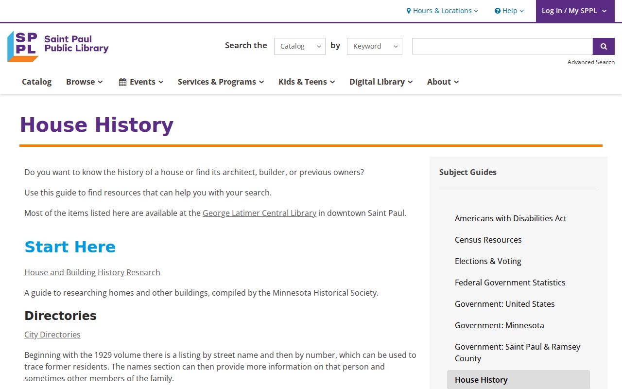
The guide helps organize a question around one address, while the underlying directory, deed, map, or permit remains the evidence for each particular claim.
If PAULIE does not reach the needed construction period, Ramsey County Historical Society has a separate Saint Paul building-permit collection. PAULIE launched in 2025 with more than 20 years of converted municipal data, but older conversion and retention gaps should lead back to City or RCHS research rather than a conclusion that no permit exists.
St. Paul Previous Residents on Historic Maps
Sanborn fire-insurance maps are building and lot evidence, not resident lists. Saint Paul holdings include 1885, 1904, 1926, and 1949 or 1951 references, and the Minnesota Historical Society's list spans 1867 through 1950. A plate can show a building footprint, use, construction material, number of stories, lot context, nearby structures, and the street form used in that edition. Compare the relevant plate to the directory year before joining a person to a structure.
The MNHS Sanborn holdings list identifies the Minnesota Historical Society map resource. At the Gale Family Library, maps sit beside directories, newspapers, census materials, and the Minnesota 1895 state-census index, so a researcher can check an address across several formats in one visit.
When a name trail points outside ordinary directory evidence, the Ramsey County naturalization finding aid describes another historical source. Its collection includes a personal-name index from 1849 through 1930, declarations, final papers, petitions, and related files. Access includes microfilm and restricted-original conditions.
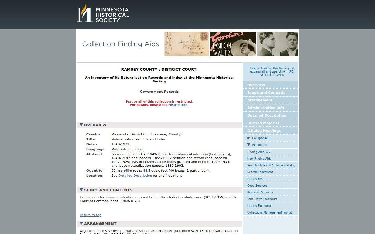
A naturalization record can suggest an earlier name, origin, or time frame, but it should be compared with an address-specific directory or land record before connecting it to a particular parcel.
St. Paul Previous Residents in Directory Years
Directories become far more useful for an address trail after the local house-number threshold in 1885. Before that point, use the street name, ward, neighborhood, and 1879 “to” and “from” street index rather than insisting on a current house number. The 1929 homeowner symbol and spouse convention, the 1933 all-adult listings, the 1940 telephone bell, the 1961 street-index telephone numbers, and the 1964 phone section each change what can be extracted from a year.
Search the same St. Paul address in both directions. The street or reverse material can point from address to an occupant or business for a selected year, then the alphabetical directory can add a name and period details. The historical collections themselves are described in the St. Paul Directory Book, while this address trail uses them only as one layer between parcel and household evidence.
A name leaving a directory does not establish a departure. It may reflect a move, death, remarriage, military service, a changed street number, a missing volume, or a head-of-household rule. Preserve the old street form before deciding that two entries concern different places.
St. Paul Previous Residents and Street Names
Geography is part of the address trail. Saint Paul had 14 boundary changes between 1849 and 1887, and an old record may use a town, village, township, addition, ward, or county description rather than the current city label. Fort Street became Main Avenue in 1906 and later Main Street. Interstate work shortened parts of Main Street, which can change a modern assumption about block shape or adjacency.
Rondo Avenue is another important continuity check. In 2024, the City restored the Rondo name to parts of Concordia Avenue and St. Anthony Street after the freeway era had imposed the Concordia frontage-road name in 1964. Search both names, use the original plat or map where possible, and keep the addition and ward with the address. Note: An address match is stronger when the street name, number, legal description, and period map agree.
St. Paul Previous Residents in Census Records
Pair annual directories with federal census schedules to move from an address clue to a household checkpoint. The latest generally released federal schedule is 1950 under the 72-year release rule. The 1895 Minnesota state census provides an additional Ramsey County checkpoint between federal decades. A census can show household members, ages, relationships, birthplace, citizenship or language fields depending on the year, while the directory can show the address and annual change around that date.
- Choose the directory observation closest to a census year and retain its exact address wording.
- Use historical maps, wards, additions, and enumeration-district context to locate the right census area.
- Compare names, ages, relationships, and address clues, then mark agreement and uncertainty separately.
- Check a later directory, deed, permit, or newspaper notice before extending the household trail.
- Use an obituary or probate file to identify family relationships, an executor, or heirs when the trail reaches a death or estate.
MNHS newspapers can provide notices from 1861 through 1961, and the Ramsey FamilySearch will collection includes 1849 through 1887 coverage within the broader collection. An obituary is a family-published lead and probate can identify an executor or heirs, but neither proves full-time occupancy at an address. A record that ends should be left as a documented gap.
Lawful use. Use St. Paul house-history and family-history records for lawful personal research. Do not use any record to stalk, harass, or harm a living person.