
St. Paul Postal Areas
The City’s official postal map shows 13 ZIP areas in Saint Paul geography. They are working areas for mail delivery, not official neighborhood, ward, district-council, or city-limit boundaries. The area descriptions below preserve the map’s local context, but a particular address should always be checked in USPS ZIP Lookup. That check matters near an irregular edge, a river, a rail corridor, or a neighboring municipality.
| ZIP | Saint Paul area | Post office or station | Local caution |
|---|---|---|---|
| 55101 | Downtown core, east downtown, and riverfront | Saint Paul downtown delivery | Postal area differs from the downtown planning boundary. |
| 55102 | Downtown west, Cathedral Hill, and central-west areas | Saint Paul | Includes civic and central-west portions. |
| 55103 | North of downtown, Frogtown and Summit-University edge | Saint Paul | Crosses neighborhood and planning labels. |
| 55104 | Midway, Hamline-Midway, and central-west residential area | Saint Paul | Cuts across district-council boundaries. |
| 55105 | Summit Hill, Macalester-Groveland north portions, and Grand Avenue corridor | Saint Paul | Neighborhood and postal area are not synonyms. |
| 55106 | East Side, Payne-Phalen, Dayton’s Bluff, and east-central area | Saint Paul | Large east-side residential area. |
| 55107 | West Side and lower river industrial-adjacent area | Saint Paul | Municipal-boundary context matters. |
| 55108 | Como and St. Anthony Park north-central area | Saint Paul | Includes university and rail-adjacent territory. |
| 55114 | St. Anthony Park and University-area edge | Saint Paul | May include addresses near or across the city line. |
| 55116 | Highland Park and southwest Saint Paul | Saint Paul | River, park, and municipal edges are irregular. |
| 55117 | North End and Frogtown north area | Saint Paul | Does not match District 6 or District 7 exactly. |
| 55119 | Southeast Saint Paul, Battle Creek, and Highwood edge | Saint Paul | Nearby addresses can use Maplewood or other city names. |
| 55130 | North of downtown and east of I-35E | Saint Paul | Postal or institutional area; verify residential delivery with USPS. |
The City map is a geographic cross-check, not an address certification. It does not convert a postal area into a resident list or a legal parcel boundary.
St. Paul Postal Areas Explained
A postal code is a delivery-routing area. It can include more than one neighborhood, district, or municipal jurisdiction. The same city label can appear on an address outside the City of Saint Paul, and a Saint Paul parcel can sometimes carry a neighboring postal-city label. This is why a valid postal result should be compared with Ramsey GIS and the assessor’s situs city before a records search is narrowed.
Several nearby ZIPs can appear in regional datasets even though they are not Saint Paul city parcels. The research identifies 55109 with Maplewood or North Saint Paul, 55110 with White Bear Lake, 55112 with Arden Hills, Mounds View, or New Brighton, 55113 with Roseville, 55118 with West Saint Paul, 55120 with Mendota Heights, 55121 through 55124 with Eagan or Apple Valley areas, and 55155 with a state-government postal address. Regional proximity is not municipal jurisdiction.
Verify St. Paul ZIP Codes
USPS ZIP Lookup provides the most direct postal check before using a ZIP in a resident or property search. It has three modes: By Address, By City and State, and Cities by ZIP. An address search requires street address, city, and state. Company and unit are optional, as is a ZIP when the address is being checked. The result can standardize how an address is written, so keep the returned form with the original search wording.
USPS expressly cautions that a postal result does not confirm that a person or company is at the location. A multiple-match result should be narrowed with the street and unit. The postal answer is therefore a normalization step, not proof of residency, ownership, or city jurisdiction.
| USPS mode or field | Required input and result |
|---|---|
| By Address | Street address, city, and state are required; company, unit, and ZIP are optional. |
| By City and State | Enter city and state to return the ZIP areas associated with that postal-city combination. |
| Cities by ZIP | Enter the ZIP to return cities connected to that postal delivery code. |
| Address standardization | Read the returned standardized form carefully, particularly where a unit or similar street name is involved. |
Find St. Paul Residents By ZIP
A ZIP can organize an address search, but the search must remain specific to the record system. First validate the postal address. Next use the county property lookup to identify the parcel and its situs city. MapRamsey can then show the parcel in its municipal and geographic context. If the question becomes street-specific, the St. Paul Street Directory follows the assessor, map, deed, and historical directory chain in greater detail.
- Run the known address through USPS ZIP Lookup and note any standardized spelling, unit, or city result.
- Search Ramsey County Property Tax and Value Lookup by address, PIN, or plat, block, and lot. Confirm the situs city, PIN, and legal description.
- Open MapRamsey and inspect the parcel against the city boundary and nearby parcels. The map is for reference, so use it to compare geography rather than establish title.
- For a specific voter-registration question, use MNVotes with the complete name, birthday, and residence address. It can start in ZIP mode or county mode.
- Keep ZIP, mailing address, situs address, and legal description as separate fields in the notes. Their differences can explain why a record was not found under one label.
St. Paul Voter ZIP Starts
MNVotes lets a user begin the address portion of a registration search with ZIP mode or county mode. It then requires city or township, house number, street, and an optional unit when one is part of the registration. First name, last name, and birthday are also required. The result is a confirmation or status path for a particular registration, not a list of people throughout a postal area.
| MNVotes address field | Requirement or use |
|---|---|
| ZIP Code or County | Choose one starting mode for the address search. |
| City or township | Select the address jurisdiction after the opening mode. |
| House number and street | Both are required for the address match; the system can report a house number not found. |
| Unit number | Select the checkbox and enter the unit when the registration includes one. |
| Name and birthday | First name, last name, and exact birthday are required for a status search. |
Minnesota Statutes §201.091 governs the separate public-information-list process. A request has voter-status certification and permitted-use rules. ZIP mode does not create a browseable list of people in a postal area, and a normal registration result does not reveal ballot choices.
St. Paul Parcel Data And ZIPs
Ramsey open-data valuation rows include a ZIP Code field alongside property type, PIN, tax year, street address, city, state, taxpayer name, legal party role, estimated market value, and georeference. That makes ZIP useful as a data attribute, but the research did not establish whether the current Property Tax and Value Lookup has a ZIP-wide filter or how that filter behaves. Treat a ZIP field as one piece of the record, not as the county’s parcel boundary.
MapRamsey may be searched or browsed geographically rather than by postal area. Its parcel polygons, parcel points, and administrative layers are often more precise for an individual property. The county says GIS mapping is reference data and may differ from tax data, so verify a result against the assessor or Recorder when the parcel or jurisdiction matters.
See the Ramsey County Interactive Property Map for the geographic parcel viewer used with these checks.
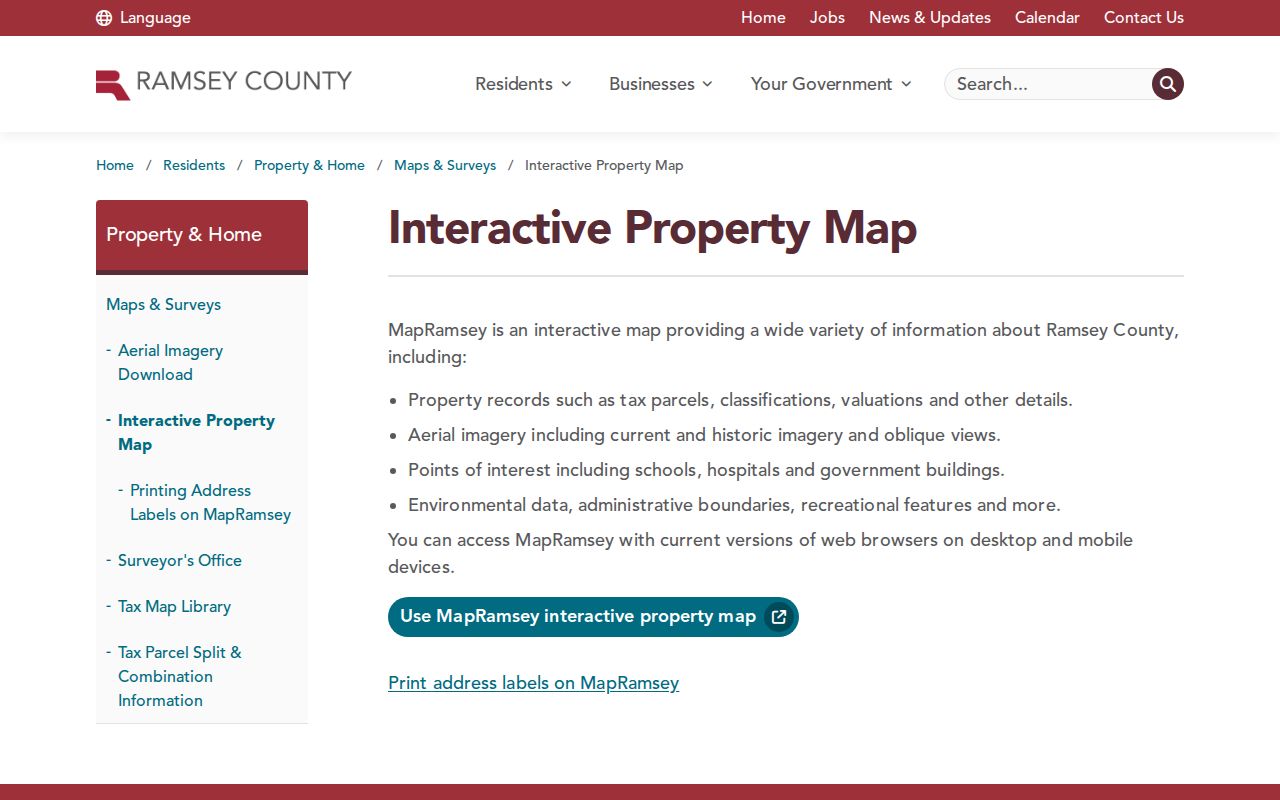
The map is useful for comparing a parcel with city, district, and surrounding-area layers after a postal code has narrowed the starting address.
St. Paul ZIP Boundaries And Limits
Three areas deserve extra care: 55114, 55117, and 55130. The official city map describes 55114 as a St. Anthony Park and University-area edge that may include addresses near or over the city boundary. It describes 55117 as a North End and Frogtown north area that does not follow District 6 or District 7 exactly. It lists 55130 north of downtown and east of I-35E, with postal or institutional and north-downtown addresses that should be verified with USPS.
A postal boundary should also not be confused with the city limit. Compare the USPS answer, the Ramsey GIS city boundary, and the assessor’s situs city. This three-part check is especially important for an address that is near Saint Paul, carries a Saint Paul postal label, or appears in a regional dataset.
- ZIP versus ZIP+4
- A ZIP is a general postal delivery area; ZIP+4 adds a more specific delivery segment within that area.
- PO Box ZIP
- A postal code assigned to post-office-box delivery rather than to every street address in an area.
- Unique ZIP
- A postal code used for a single organization or special delivery arrangement, not a neighborhood boundary.
- Carrier route
- A mail-delivery sequence within a postal area; it is not a city district or a list of residents.
St. Paul Addresses Shift Over Time
Postal geography is only one part of address history. Original township and section surveys were completed in 1847 east of the Mississippi and in 1853 west of it. The original town was created in 1849, incorporated in 1854, and had its plat filed with the Ramsey County Recorder in 1866. Fourteen city boundary changes occurred between 1849 and 1887. An older record can therefore identify the same area by township, village, addition, or a different city heading.
Street changes add another continuity problem. Fort Street became Main Avenue in 1906 and later Main Street. In 2024, parts of Concordia Avenue and St. Anthony Street were restored to Rondo Avenue. When an older address search does not align with its modern ZIP, preserve the original street name and pair it with plats, historic maps, or directories before deciding that the record is unrelated.
St. Paul Postal Limits
A postal directory can verify delivery geography and help organize a precise search. It cannot prove who lives at a property, who owns it, the current municipal jurisdiction, or a shared household. A property record can identify a taxpayer or owner but may carry a different mailing address. MNVotes is person-specific and protected-voter rules apply. USPS results do not confirm a person or organization at an address.
For address history, maintain four separate labels: the delivery ZIP, mailing address, situs address, and legal description. A mismatch is often useful evidence, not an error to erase. It can point to an out-of-city mailing address, an historic street change, an institutional delivery arrangement, or a parcel that lies near a boundary.