
St. Paul Neighbors by Block
Public sources around a St. Paul address have narrow roles. MapRamsey shows the parcels that form the immediate block. The Ramsey tax record adds taxpayer or owner information, a situs address, mailing information, classification, and valuation. RecordEASE can test the ownership history behind a parcel. PAULIE supplies a municipal project layer. The district-council directory routes a civic or neighborhood-history question to the organization responsible for the address. None of those sources proves every person who lives nearby.
| Source | What it shows about a block | Access |
|---|---|---|
| MapRamsey parcel layer | Adjacent polygons, PIN links, common-interest divisions, easements, and landties | Public reference map |
| Ramsey property tax and value data | Taxpayer or owner clue, mailing and situs address, value, and classification for each parcel | Public parcel lookup; not proof of occupant |
| RecordEASE | Recorded transfers and instruments for selected parcels | Subscription, copy charges, or Recorder counter |
| PAULIE | Permits, inspections, code cases, complaints, and projects tied to an address or PIN | Public search with account limitations |
| MNVotes | An individual registration status path, or a lawfully requested public-information list | Complete inputs and Minn. Stat. §201.091 rules |
| District council directory | The community organization, public contacts, meetings, events, and plans for an address | City address lookup and organization sites |
Start with an exact address, then choose the source that matches the question. A tax record can identify a taxpayer or owner, not establish occupancy. A permit record can describe a project, not identify a household. The narrower the question, the more useful the result. This makes a neighbor search about the immediate block rather than a broad, unverified list of names.
Map St. Paul Neighbor Parcels
MapRamsey provides the point-and-click method for the parcels beside an address. Enter the target address, select its parcel polygon, and record the PIN and legal description. Keep the parcel layer active and move one parcel width at a time in each direction. Identify each polygon separately. The map can also display aerial, historic-imagery, boundary, environmental, district, and point-of-interest layers. Those layers help distinguish a rear lot, alley parcel, common-interest community, park, right-of-way, or merged parcel from an ordinary adjacent lot.
- Open MapRamsey Interactive Property Map, search the address, click the target polygon, and save its PIN and legal description.
- Pan or zoom one parcel width, click each adjacent polygon, and use identify or select to open the corresponding property details.
- Turn on parcel, aerial, historic-imagery, and administrative layers as needed. A line that looks close on one layer can represent an alley, public right-of-way, or a different district boundary.
- Verify each parcel through the Ramsey Property Tax and Value Lookup. If ownership history matters, use RecordEASE and compare the legal description and transfer date.
GIS geometry is discovery evidence, not legal title evidence. The official research did not document a current MapRamsey buffer or radius control name, so a manual adjacent-parcel review is the reliable published method. For a full named-street chain rather than a block-sized question, use the St. Paul Street Directory.
St. Paul Boundary Layers
A St. Paul block can carry several valid geographic labels at once. District councils and planning districts are not the same thing as ZIP codes, wards, census tracts, or historical neighborhoods. A record might use Frogtown, Thomas-Dale, North End, Payne-Phalen, Ward 1, 55117, or a postal-city label. Preserve the original label before translating it into a modern map layer. That small habit prevents a parcel, directory entry, or historic notice from being discarded simply because it uses a different geographic vocabulary.
The Surveyor’s record history explains why this matters. Saint Paul had 14 boundary changes between 1849 and 1887, and its original town site, additions, townships, and later municipal boundaries can appear in records. A parcel that seems adjacent today may also be separated by an old railroad, ravine, right-of-way, or later freeway. Current parcel labels should therefore be paired with the legal description and, for historical work, the original ward, addition, township, or neighborhood term.
The Saint Paul Surveyor’s Office is the official starting point for the city’s survey and boundary context.
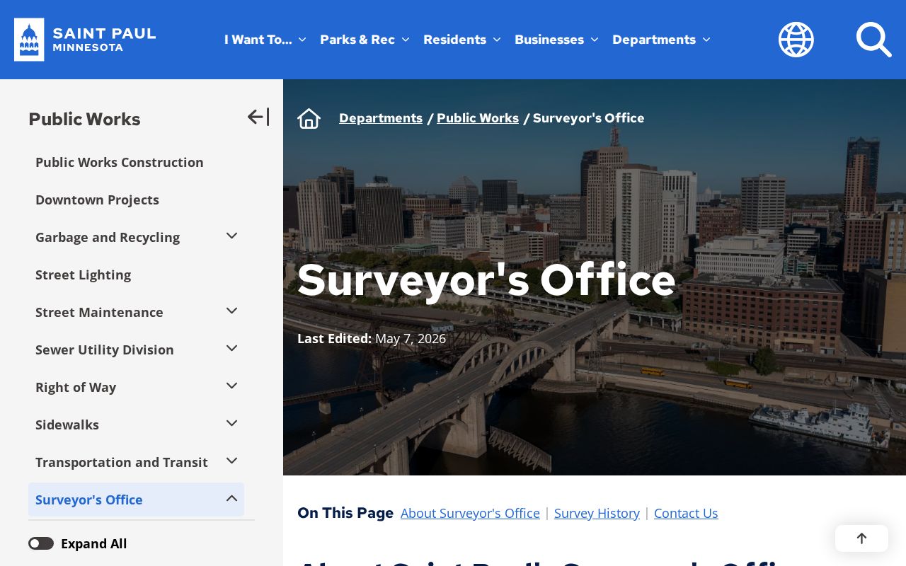
Use the survey and mapping material to check the place label before connecting historic and current parcel records. It provides geographic context, while tax and Recorder sources remain the place to verify a parcel’s official record trail.
St. Paul PAULIE Block History
PAULIE is the current Saint Paul portal for permits, licenses, inspections, complaints, planning cases, applications, tracking, and payments. It launched on September 17, 2025, replacing AMANDA and ECLIPS. The City reports more than 20 years of converted data, but also notes that older permit records are still being added and some legacy data need cleanup. An empty online result is not a conclusion that an older project never existed.
For a block question, search the relevant address or PIN and narrow the record type, inspection, request, scheduled date, or status. The Civic Access guidance documents wildcard searching and CSV export after results appear. A public entry can identify a project, inspection, complaint, or responsible party where public, but it is not a household record. Older building-permit work may require City research or the Ramsey County Historical Society’s collections.
Note: Treat PAULIE as a block-history layer, then verify older gaps through the City or local archival collection.
St. Paul District Council Layer
The City’s district-council directory covers 17 organizations and uses an address lookup to identify the relevant council. These are public community-contact routes, not private household rosters. Council pages can provide meetings, newsletters, events, plans, and organization contacts. They are useful for a neighborhood-history question or a public civic matter after the parcel work has established the correct place.
District 4
Dayton’s Bluff Community Council
804 Margaret St.
651-772-2075
District 7
Frogtown Neighborhood Association
501 Dale St., Suite 300
651-236-8699
District 9
West Seventh/Fort Road Federation
395 W. Superior St.
651-298-5599
District 11
Hamline Midway Coalition
1600 University Ave. W., Suite 301
651-494-7682
District 14
Macalester-Groveland Community Council
320 Griggs St. S.
651-695-4000
District 17
CapitolRiver Council
423 Landmark Center, 75 W. Fifth St.
651-221-0488
The Saint Paul district-council directory supplies the address-based route to the complete set of public organization contacts.
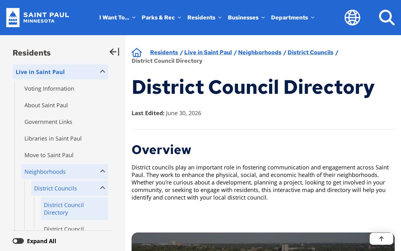
Use the directory to contact the proper organization about published plans, public meetings, or neighborhood vocabulary. Private member, block-club, faith-community, and HOA lists are not a citywide public database.
St. Paul Neighbor Voter Limits
MNVotes is a person-specific registration-status form, not a browseable block roll. It requires first name, last name, birthday, residence address, and either ZIP or county mode, with city, house number, street, and unit details where applicable. The status tool is updated nightly, but a nonmatch may call for checking the required inputs or seeking help from elections staff. It does not return ballot choices or turn nearby addresses into a list of registered voters.
Minn. Stat. §201.091 treats the master list and public-information list differently. A complete public-information-list request requires the requester to be a registered Minnesota voter, to certify a permitted use, and to follow the state request process. Safe at Home and protected-voter processes add further limits. A polling place can also fall outside a precinct boundary, so it is not a substitute for an address-based parcel or district check.
The Ramsey County elections maps provide the official address-based district and polling-information route.
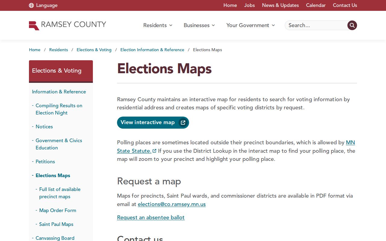
The map can place an address in its election geography. It cannot establish who lives on a block, and it should not be used to build an unofficial neighborhood roster.
St. Paul Neighbor Source Comparison
Official and commercial neighbor tools serve different purposes. An official record has a named custodian, a defined field set, and a specific access rule. A commercial composite may combine brokered public filings, marketing data, and old address history into one display. That can be convenient, but it can join similar names or outdated addresses. For a block question, start with the parcel, tax, Recorder, election-law, City, or library source that owns the record.
| Source category | Best use | Limit to remember |
|---|---|---|
| Official parcel and tax records | Parcel identity, taxpayer or owner clues, situs, mailing information, and classification | They do not prove current occupancy |
| Recorder and court custodians | Recorded instruments or public case material with a defined record trail | Fees, nonpublic material, and counter or archive fallback can apply |
| City, elections, and district sources | Address geography, public municipal history, registration rules, and community contacts | Each answers a narrow question, not a household roster |
| Commercial composite tools | A starting lead that needs independent checking | Stale address history and same-name joins can be wrong |
Keep a note of the source date, parcel or case identifier, and the result that matched. This turns a useful lead into a checkable record trail and makes a mistaken identity easier to correct with the proper custodian.
St. Paul Neighbors Privacy Limits
Some block information is not public. Household members who do not appear in a public filing, utility and delivery customer data, driver addresses, Safe at Home locations, protected voter data, juvenile and sealed court material, and private organization membership records stay outside a normal neighbor search. A parcel mailing address can belong to a different location or an organization. It is not a reason to infer who occupies the property.
Minnesota Safe at Home participants use a designated legal address, and their real address is protected subject to statutory exceptions. The Minnesota Consumer Data Privacy Act gives qualifying consumers rights with covered companies, but it does not erase public government records from county systems. Questions about a source should go to the office or organization that maintains it.
Lawful use. Use St. Paul neighbor records for personal, lawful research and public civic context. Do not use them to stalk, harass, intimidate, or repeatedly monitor another person.